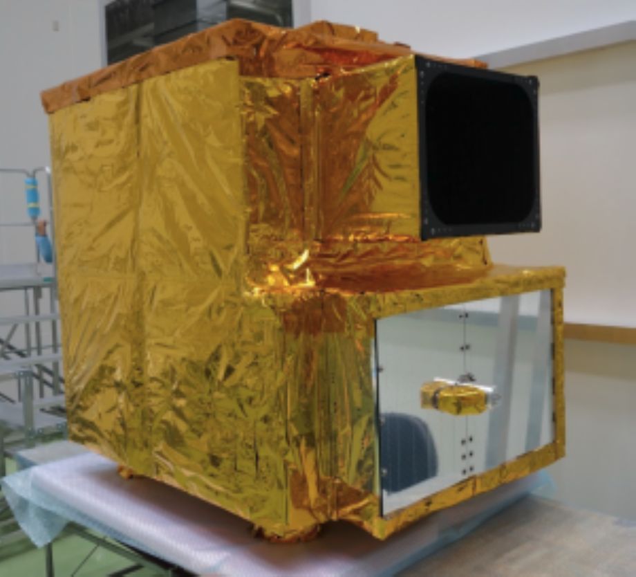
Hyperspectral Imager Suite (HISUI) is a spaceborne hyperspectral Earth imaging system being developed by Japanese Ministry of Economy, Trade, and Industry (METI).
The objective of HISUI onboard ISS is to obtain data necessary to start a full-scale practical application development for hyperspectral remote sensing.
The swath of HISUI is narrow due to the optical design constraints and the available two-dimensional detectors. HISUI consists of a reflective telescope and two spectrometers which cover the visible and near infrared region (VNIR) and the shortwave infrared region (SWIR).
Each spectrometer consists of a grating and a two-dimensional detector.
HISUI product list:
| Name | Description |
| Level 0 | Raw data |
| Level 1A | Raw DN product with all radiometric calibration coefficients. Spatial resampling is not applied. |
| Level 1R | Top-of-atmosphere spectral radiance product. Spatial resampling is not applied. |
| Level 1G | Geometrically corrected / orthorectified top-of-atmosphere spectral radiance product. Parallax correction, and keystone property are considered. Spectral continuity between VNIR and SWIR are considered. |
| Level 2G | Atmospherically corrected surface spectral reflectance product generated from L1G with QA information. This is Science Product for research purpose and not validated. |
For more information : https://ssl.jspacesystems.or.jp/en_project_hisui/?doing_wp_cron=1582525983.3856370449066162109375
HISUI TECHNICAL SPECIFICATIONS:
|
Spatial Resolution |
20m (cross-track) x 30m (along track) |
|
Swath |
20km (at an altitude of 400 km) |
|
Spectral Coverage |
0.4 – 2.5 µm |
|
Spectral Resolution |
10nm (VNIR), 12.5nm (SWIR) |
|
Number of Bands |
185 |
|
SNR (Signal to Noise Ratio) |
>450 at 620nm, >300 at 2100nm |
|
Dynamic Range |
12 bit |
|
Maximum data amount per day |
690 GB/day |