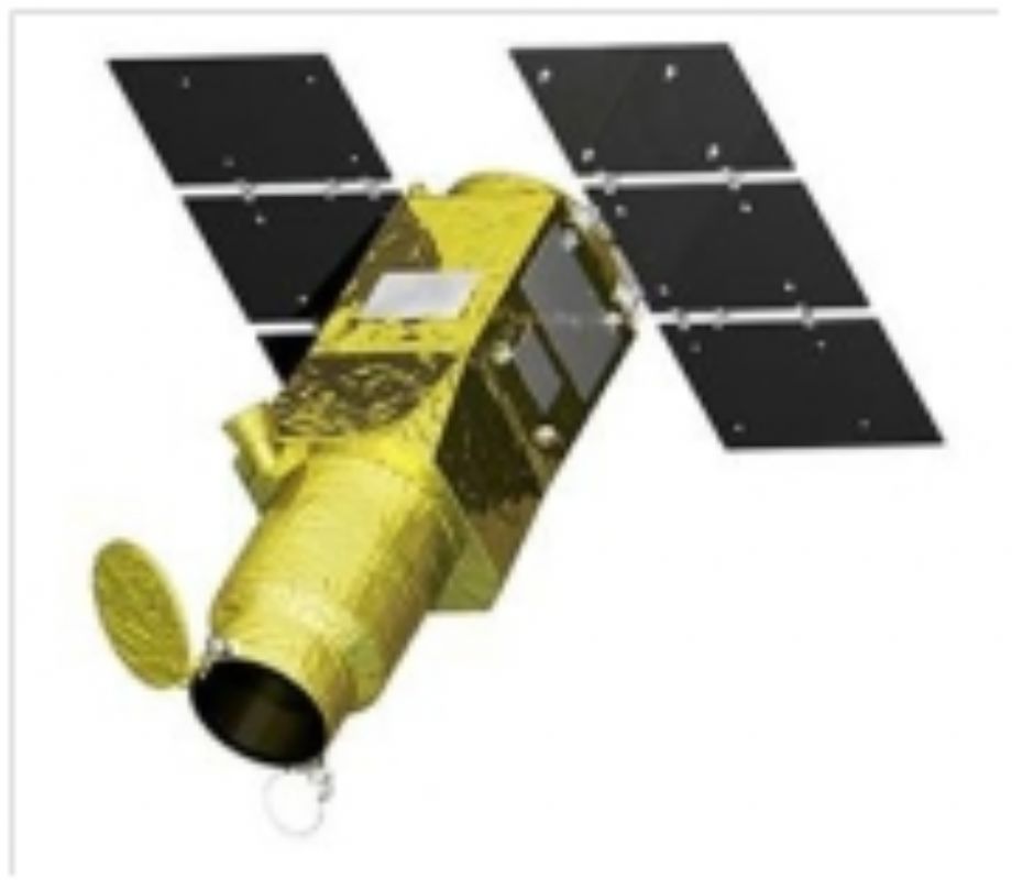
Advanced Satellite with New system Architecture for Observation (ASNARO) is a research and development project for internationally competitive advanced small satellite system. It has been executed by NEC Corporation and Japan Space Systems under the contract of Ministry of Economy, Trade and Industry (METI). The project started in 2008 under the contract of New Energy and Industrial Technology Development Organization, NEDO, and has been implemented under the METI’s contract since 2010.
The goal of the project is to establish a new system architecture to realize international competitive low-cost, high-performance and small-sized satellite with short delivery time. Though it is a 400kg class satellite, its performance is equivalent to medium or large size commercial satellites with less than 0.5 m GSD, Grand Sampling Distance. This project covers from the development of the satellite system to the demonstration in space.
Operations of ASNARO Satellite
Earth observation satellite captures images following uplink commands from ground stations. ASNARO satellite has a capability to observe within ±45degrees cross-track directional area by its high agility performance.
There are four basic observation modes; the spotlight mode (images for a local spot), the strip map mode (continuous images captured by keeping a rotational attitude of the satellite), the wide range mode (wide range images captured from forward, nadir, and backward from the satellite), and the 3 dimensional (3D) mode (3D images captured a local spot twice at forward and backward from the satellite). And as an applied mode, there is the skew mode whose images are captured diagonal directions from nadir of the satellite orbit.
By applying above modes, images of important areas can be captured. The following map shows an example along with the coast line of Tohoku district of Japan. High resolution images can be captured along with the coast line by the skew mode.

For more information :http://www.jspacesystems.or.jp/en_project_asnaro/
ASNARO-1 TECHNICAL SPECIFICATIONS:
|
Life |
Target Year: 5 years |
|
Launch Date |
November 6, 2014 |
|
Swath width |
10km at nadir |
|
Resolution (GSD) |
Pan < 0.5m, MS < 2m at nadir |
|
SpectralBands |
・Panchromatic ・MS (Multispectral): 6 bands (nm) Coastal Blue 387 –464, Blue 440 –530, Green 510 –610,Red 620 –700, Red Edge 687 –764, NIR 750 –870 |
|
Spectral range |
VNIR (Visible Near Infrared) |
|
Orbit (altitude) |
504 km Sun-synchronous orbit |
|
Orbit period |
43 days |
|
Repeat cycle |
3 days/one week (in case of N35.68, off-nadir angle 45 degree) |
|
Satellite mass |
< 500kg |
|
Passage Time |
LTDN (Local Time on Descending Node) = 11:00 hours. |
|
Data Spec |
|
|
MTF |
0.05 (Panchromatic), 0.15(Multi spectral) |
|
Bit |
12 |
|
Processing Level |
L1B |
|
Format |
Geo Tiff |
|
Coordinate |
UTM |
|
Resampling Method |
CC (Cubic Convolution) |