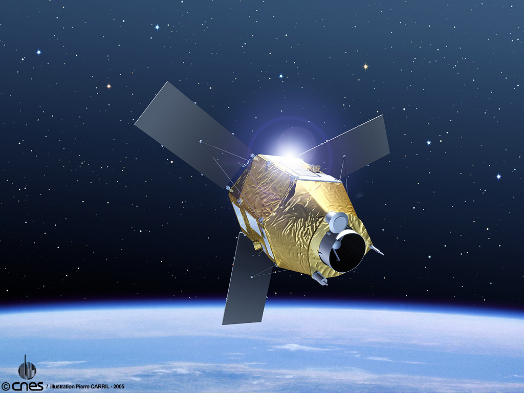
Pléiades is the CNES (French national space agency) program designed as the follow-on to its highly successful Spot series of low Earth orbit (LEO) multi-mission observation satellites, which has operated an uninterrupted service since 1986.
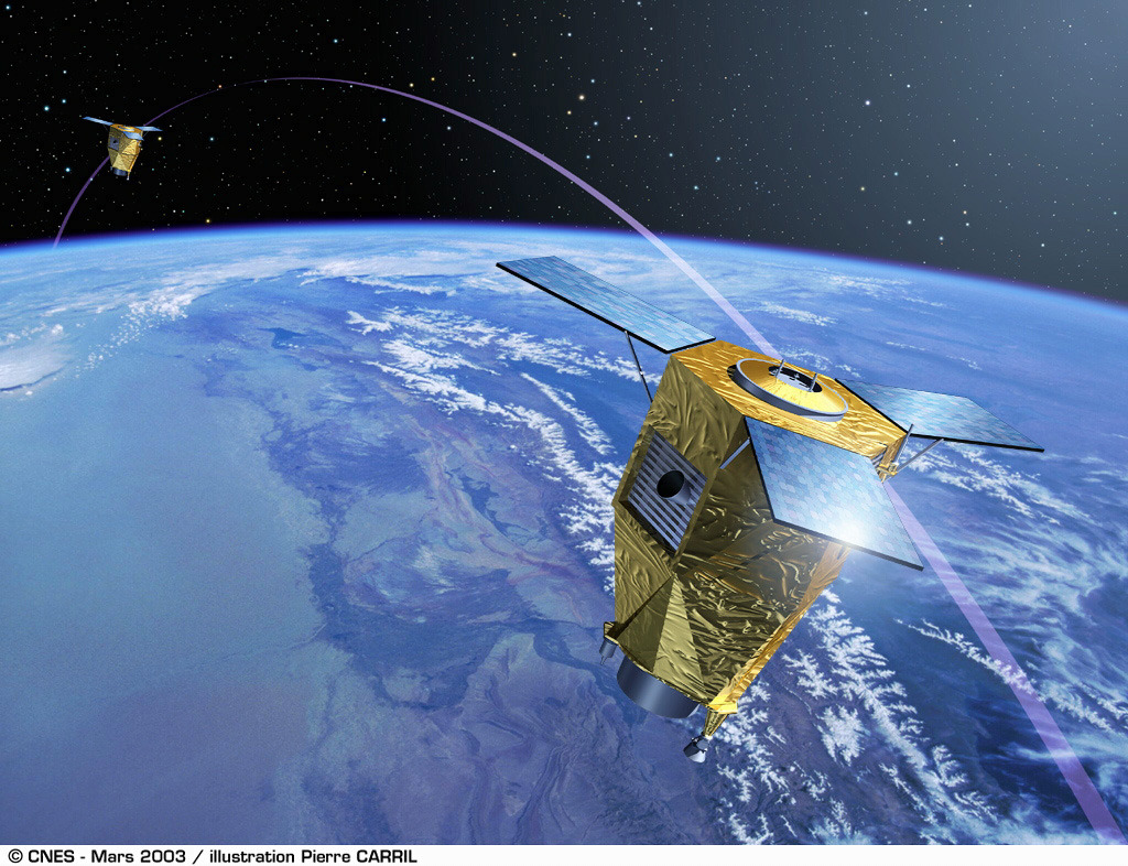 The Pléiades-HR satellites are the high-resolution optical imaging component of the French-Italian Orfeo system, for which Italy is supplying the COSMO-Skymed radar component.
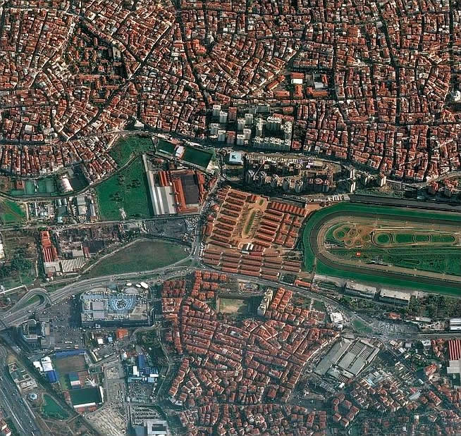
The ground resolution of the HiRI (High-Resolution Imager) is 70 cm across a 20 km swath, while a very high degree of agility will allow them to acquire several images successively along track or off track, for mosaicking of ground scenes. The onboard storage capacity has been increased to 600 gigabits and the downlink data rate to 450 megabits per second.
The 1,000 kg satellites have a design lifetime of five years and onboard power capacity of 1,000 W.
Astrium is prime contractor for Pléiades satellite bus, including all functions dedicated to satellite control and monitoring as well as payload data handling and transmission, and is responsible for software development and satellite validation. Alcatel Space is responsible for the high-resolution instruments and image telemetry.
For more information please visit www.astrium-geo.com
• Pléiades 1A was launched via a Russian Soyuz STA rocket out of the Guiana Space Centre, Kourou, French Guiana, on December 17, 2011, 02:03 UTC.
• Pléiades 1B was launched via a Russian Soyuz STA rocket out of the Guiana Space Centre, Kourou, French Guiana, on December 2, 2012, 02:02 UTC
The two satellites operate in the same phased orbit and are offset at 180° to offer a daily revisit capability over any point on the globe.
• Orbit: Sun-synchronous, phased, near-circular
• Mean altitude: 694 km.
• Image acquisition anywhere within an 800-km-wide ground strip with sub-meter resolution
• Along-track stereo and tri-stereo image acquisition
• Maximum theoretical acquisition capacity of 1,000,000 km2 per day and per satellite
• Optimized daily acquisition capacity (taking into account genuine order book, weather constraints, conflicts...) reaching 300,000 km2 per day and per satellite.
| Resolution | Panchromatic: 70 cm |
| Multispectral: 2 m | |
| Pansharpened: 70 cm , Commercial product is being interpolated and resampled to 50 cm to match the USA-based GeoEye-1 and WV-2 Satellites | |
| Bundle: 50 cm PAN & 2 m MS | |
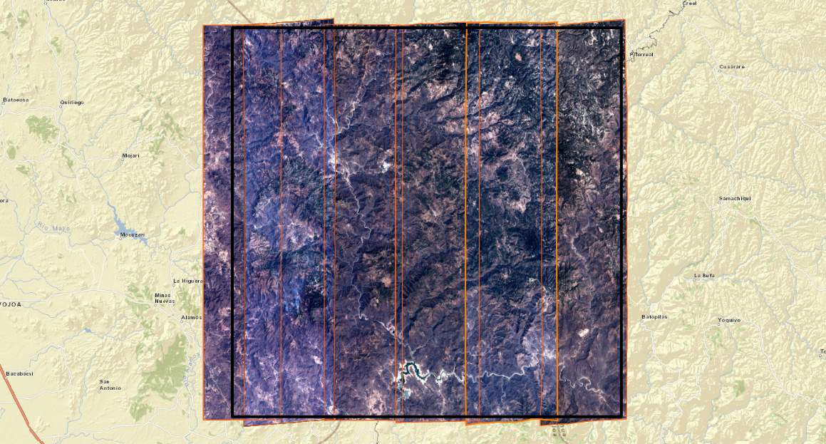
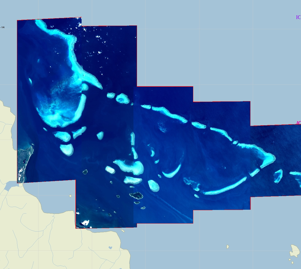
| Footprint | 20 km swath |
| Single pass mosaics up to 100 km x 100 km |
The satellites are coorbital with the lower resolution SPOT 6 and 7 satellites.
Target Acquisition Mode |
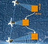 |
Multiple close targetsDetection, reconnaissance, identification |
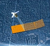
Strip Mapping Acquisition Mode |
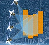 |
Wide AreaUrban and metropolis mapping |
Relief Acquisition Mode |
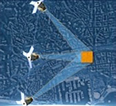 |
Stereo and TristereoFor 3D applications, DEM, flight simulation, photovoltaic planning |
Corridor Acquisition Mode |
 |
Linear targetTo monitor a coastline, border, river or pipeline |
Persistent Surveillance Mode |
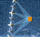 |
Multiple images of a targetTo detect moving objects |
|
|
|