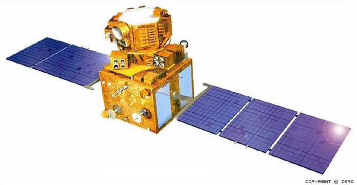
IRS-P6 has been built by Indian Space Research Organization (ISRO) as the 10th and most developed satellite. IRS P-6 not only for continuning the remote sensing services given by IRS 1-C and IRS 1-D that are giving service more than planned life times, but also in order to develop the data quality.
IRS P-6 has three sensors on-board like IRS-C and IRS-D. LISS-4 sensor has three bands in the visible and near-infrared regions with 5.8m. spatial resolution. Besides this sensor has ability to move ±26 degrees in the direction of the satellite.
LISS-3 has middle resolution sensor including VNIR region and SWIR region with 23.5m. spatial resolution. Also AWIFS sensor has the range of VNIR and SWIR regions with 56m spatial resolution.
IRS P-6 has the storage capacity of 120 Gibabits on-board in order to store the images before downlinking.
For more information: https://www.isro.gov.in/Spacecraft/irs-p6-resourcesat-1
| Technical Specifications | Pan | LISS-III | WiFS |
| Spatial Resolution | 5.8m | 23m. | 188m. |
| Swath-width | 70km | 142 km. | 810 km. |
| Radiometric Resolution | 6bit | 7bit | 7bit |
| Spectral Coverage | 500-750nm | 520-590 nm, 620-680 nm, 770-860 nm, 1550-1700 nm | 620-680 nm, 770-860 nm |
| Focal Length | 982 mm | 347.367 mm, 347.367 mm, 347.367 mm, 301.043 mm, 56.47 mm, 56.47 mm |
347.367 mm, 347.367 mm, 347.367 mm, 301.043 mm, 56.47 mm, 56.47 mm |
| CCD Arrays (no. of arrays * no. of elements) |
3 * 4096 |
1 * 6000, 1 * 6000, 1 * 6000, 7 * 300 |
2 * 2048, 2 * 2048 |
| CCD Size | 7 µm x 7 µm | 10 µm x 7 µm, 10 µm x 7 µm, 10 µm x 7 µm, 26 µm x 26 µm | 13 µm x 13 µm, 13 µm x 13 µm |
| Integration Time | 0.88364 ms | 3.6047 ms, 3.6047 ms, 3.6047 ms, 10.8142 ms |
28.8378 ms, 28.8378 ms |