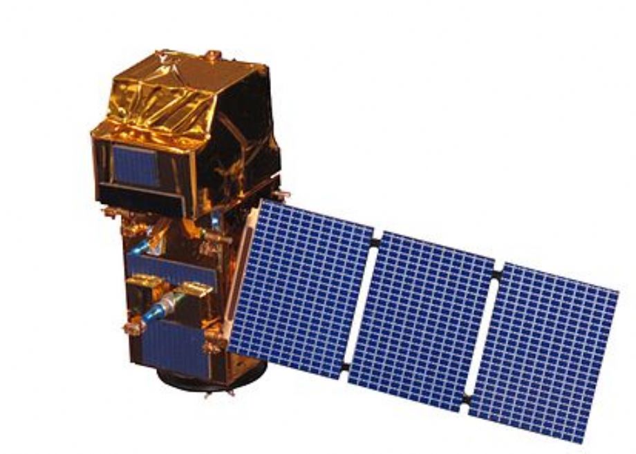
Sentinel-2 is an Earth observation mission from the Copernicus Programme that systematically acquires optical imagery at high spatial resolution (10 m to 60 m) over land and coastal waters. The mission is a constellation with two twin satellites, Sentinel-2A and Sentinel-2B. .
The mission supports a broad range of services and applications such as agricultural monitoring, emergencies management, land cover classification or water quality.
Sentinel-2 has been developed and is being operated by ESA, and the satellites were manufactured by a consortium led by Airbus DS.
The acquired data, mission coverage and high revisit frequency provides for the generation of geoinformation at local, regional, national and international scales. The data is designed to be modified and adapted by users interested in thematic areas such as:
- spatial planning
- agro-environmental monitoring
- water monitoring
- forest and vegetation monitoring
- land carbon, natural resource monitoring
- global crop monitoring
A constellation of two polar-orbiting satellites placed in the same sun-synchronous orbit, phased at 180° to each other.

SENTINEL-2 carries an optical instrument payload that samples 13 spectral bands: four bands at 10 m, six bands at 20 m and three bands at 60 m spatial resolution. The orbital swath width is 290 km.

For more information: https://sentinel.esa.int/web/sentinel/missions/sentinel-2
SENTINEL-2 TECHNICAL SPECIFICATIONS:
|
Sentinel-2A launch |
June 2015, by Vega from Kourou, French Guiana |
|
Sentinel-2B launch |
July 2016, by Rockot from Plesetsk, Russia |
|
Orbit |
Sun-synchronous at altitude 786 km, Mean Local Solar Time at descending node: 10:30 (optimum Sun illumination for image acquisition) |
|
Geometric revisit time |
Five days from two-satellite constellation (at equator) |
|
Design life |
Seven years (carries consumable for 12 years: 123 kg of fuel including end of life deorbiting) |
|
MSI (Multispectral Imager) |
MSI covering 13 spectral bands (443–2190 nm), with a swath width of 290 km and a spatial resolution of 10 m (four visible and near-infrared bands), 20 m (six red edge and shortwave infrared bands) and 60 m (three atmospheric correction bands).
|
