ISPRS 2025
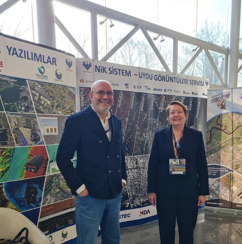
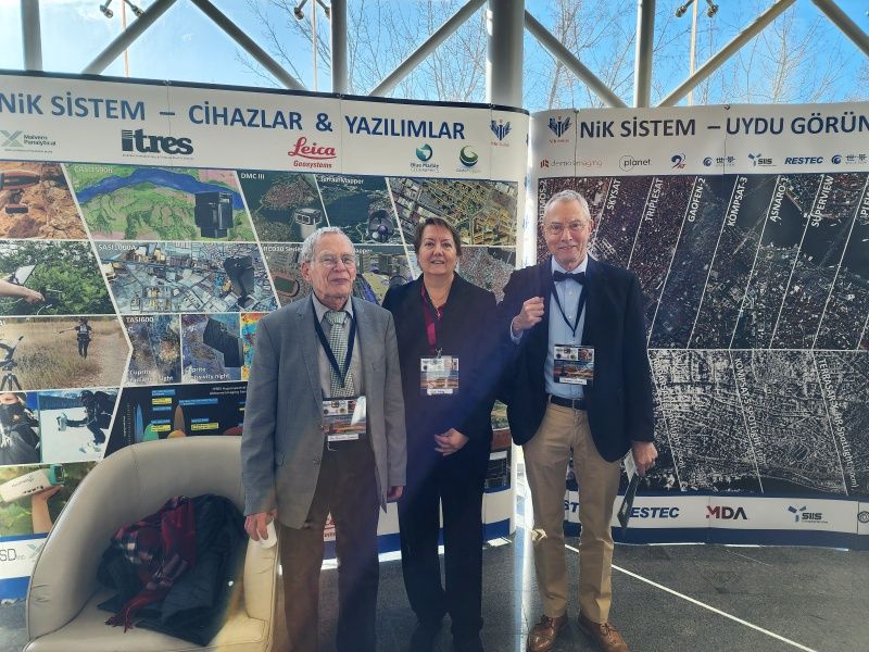
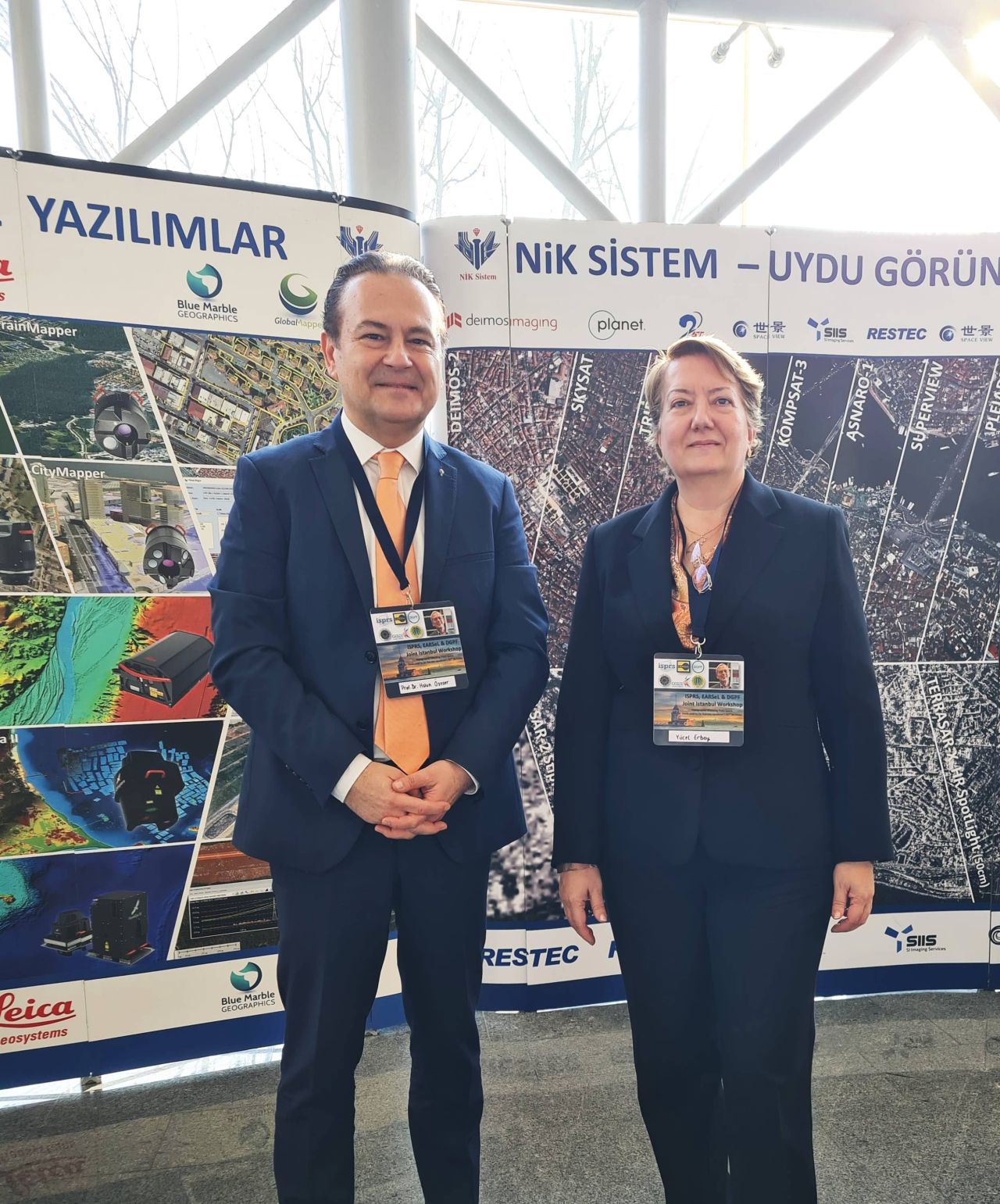
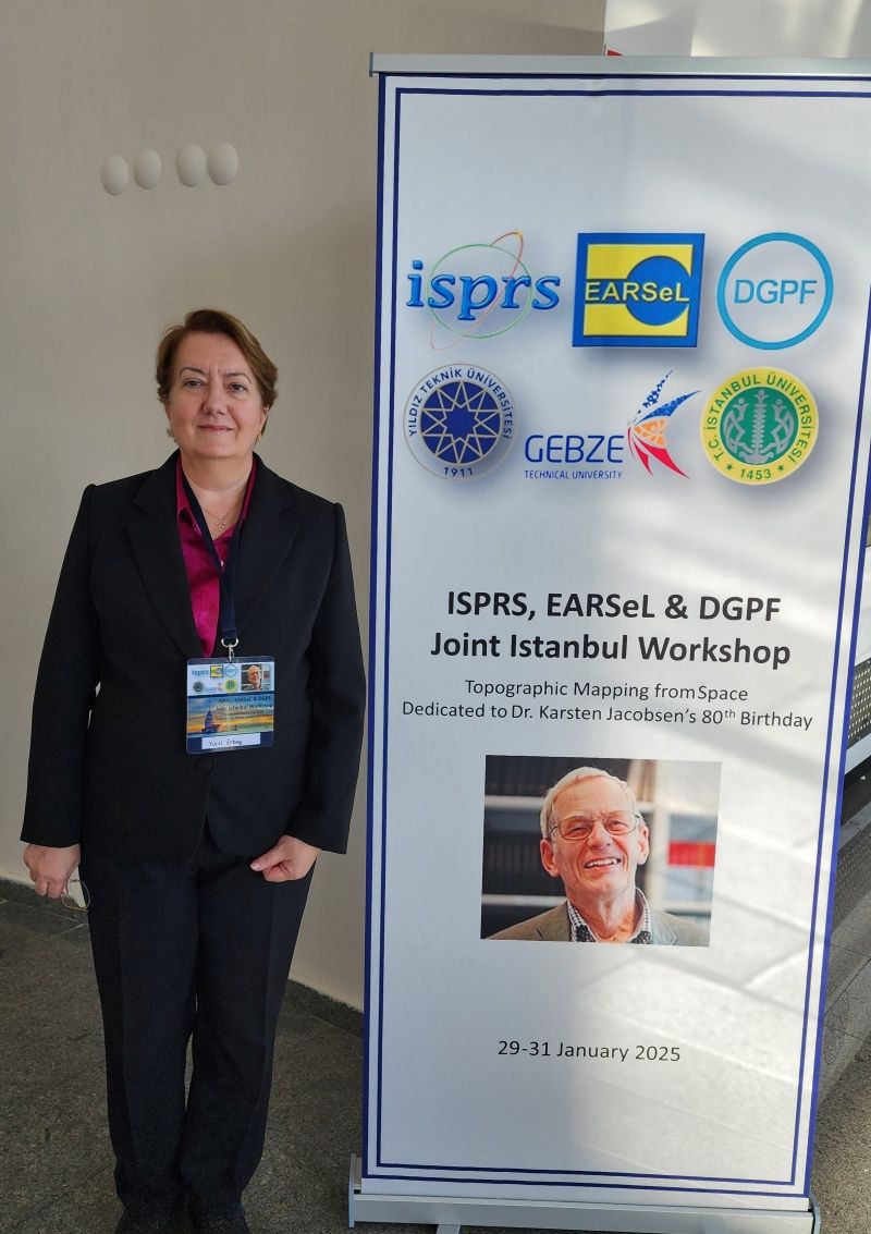
From January 29-31, 2025, the ISPRS, EARSeL & DGPF Joint Istanbul Workshop on Topographic Mapping from Space brought together leading experts in remote sensing, geospatial analysis, and Earth Observation (EO) at Yıldız Technical Universitys Davutpaşa Congress Centre. This special edition of the workshop honored Dr. Karsten Jacobsen’s 80th birthday, recognizing his lasting contributions to the field.
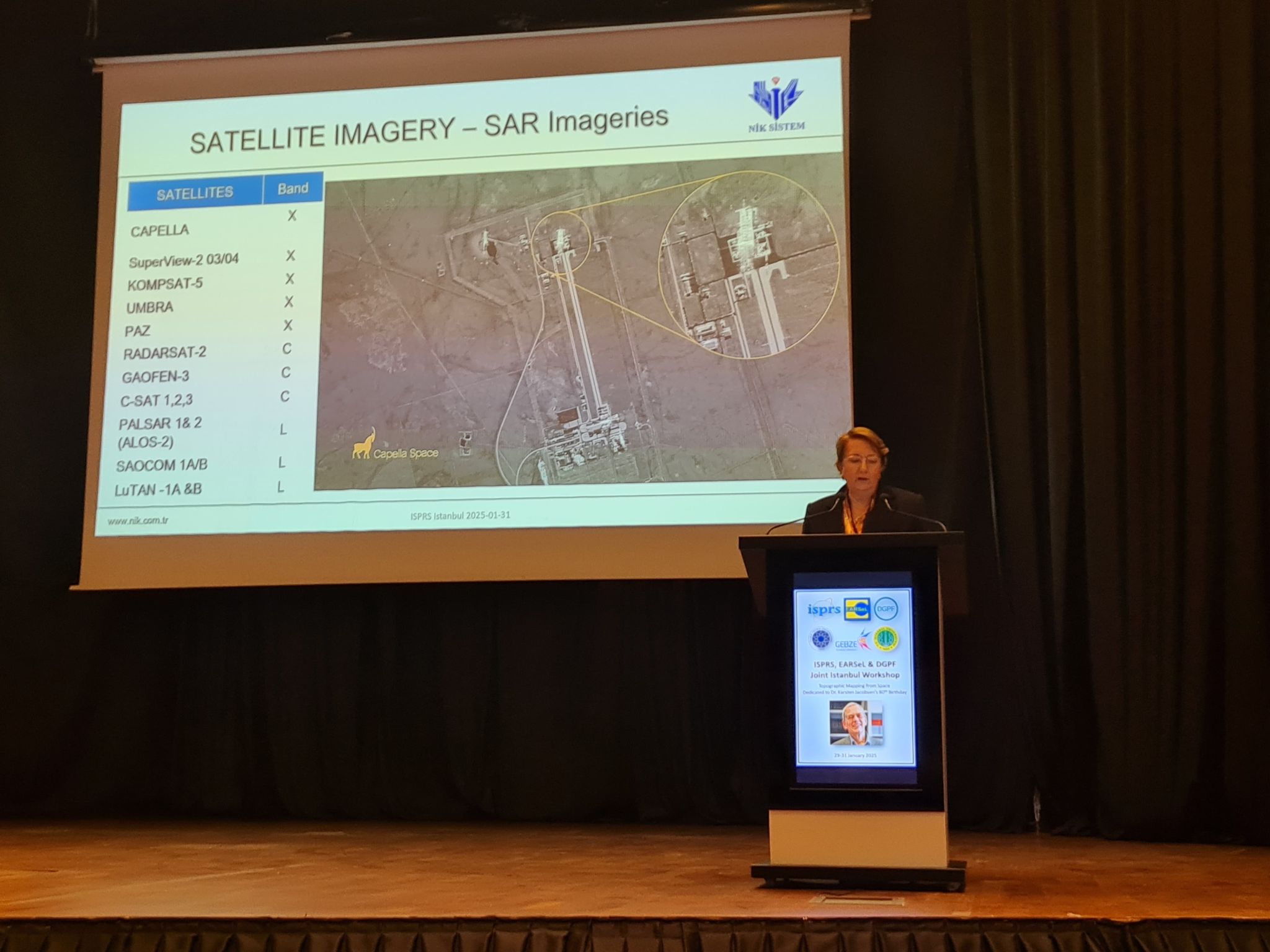
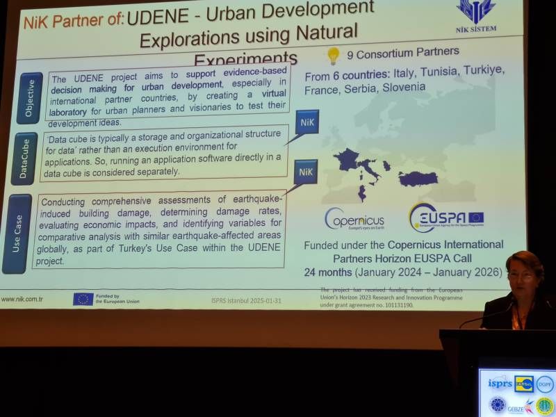
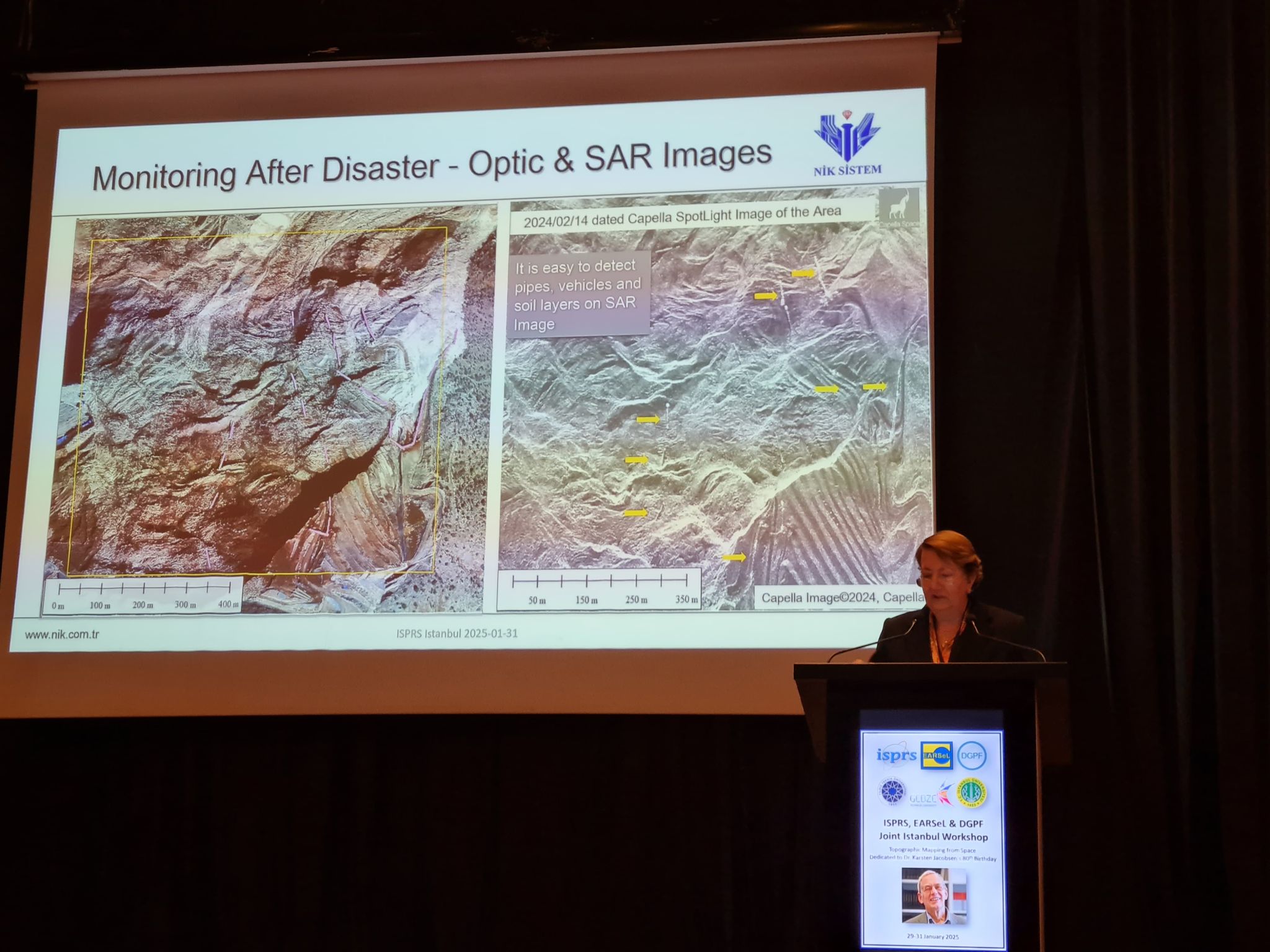
As part of the event, NIK System showcased UDENE’s innovative approach to evidence-based urban development, highlighting how the project leverages Copernicus EO data to support urban planners and decision-makers. The presentation covered:
UDENEs core objectives, The Data Cube technology—a structured, efficient way to store and analyze EO data, UDENEs Use Case in Turkey, assessing earthquake-induced building damage and economic impacts
With the workshops focus on topographic mapping and spatial data, UDENE’s methodology—using multi-dimensional urban models—aligned closely with advancements in geospatial mapping and remote sensing. The Exploration Tool further empowers urban planners by analyzing urban development patterns, ensuring data-driven, sustainable decision-making.
By engaging with experts at ISPRS, EARSeL & DGPF, UDENE continues its mission of bridging the gap between EO technologies and urban planning—helping cities grow in a sustainable, resilient, and well-planned manner, in alignment with UN Sustainable Development Goal 11.
From January 29-31, 2025, the ISPRS, EARSeL & DGPF Joint Istanbul Workshop on Topographic Mapping from Space brought together leading experts in remote sensing, geospatial analysis, and Earth Observation (EO) at Yıldız Technical Universitys Davutpaşa Congress Centre. This special edition of the workshop honored Dr. Karsten Jacobsens 80th birthday, recognizing his lasting contributions to the field.
As part of the event, NIK System showcased UDENEs innovative approach to evidence-based urban development, highlighting how the project leverages Copernicus EO data to support urban planners and decision-makers. The presentation covered:
UDENEs core objectives, The Data Cube technology—a structured, efficient way to store and analyze EO data, UDENEs Use Case in Turkey, assessing earthquake-induced building damage and economic impacts
With the workshops focus on topographic mapping and spatial data, UDENEs methodology—using multi-dimensional urban models—aligned closely with advancements in geospatial mapping and remote sensing. The Exploration Tool further empowers urban planners by analyzing urban development patterns, ensuring data-driven, sustainable decision-making.
By engaging with experts at ISPRS, EARSeL & DGPF, UDENE continues its mission of bridging the gap between EO technologies and urban planning—helping cities grow in a sustainable, resilient, and well-planned manner, in alignment with UN Sustainable Development Goal 11.