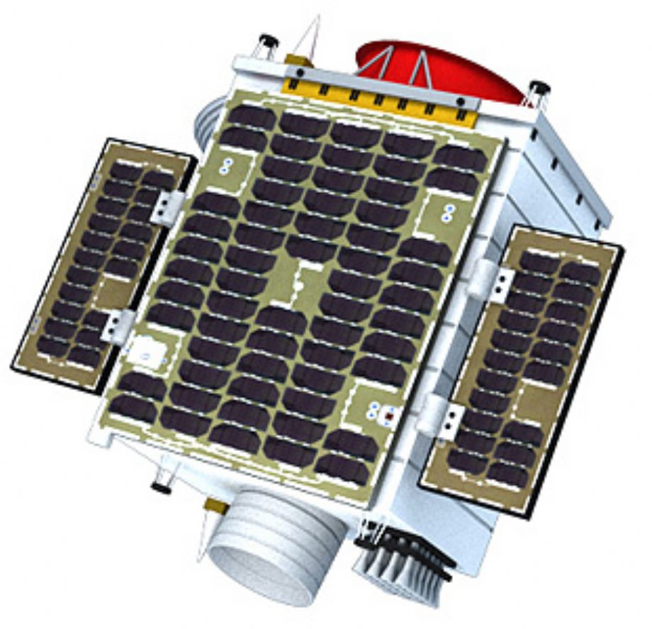
The Jilin-1 constellation developed and operated by CGSTL was successfully launched on October 7, 2015. We’re dedicated to building an all-round remote sensing satellite constellation system covering conventional satellite imagery, dynamic satellite video, multi-spectrum and radar. By virtue of reasonable networking, we are able to realize all-weather, all-time and all-spectrum data acquisition, to meet your commercial and market needs of various kinds.
As our future goals, we plan to complete networking of 60 satellites by 2020 and realize a 30-minute revisit to any location on the earth; complete networking of 138 satellites by 2030 and realize a 10-minute revisit to any location on the earth.
| Items | Launch | Orbit | Imaging pattern | Resolution | Width | Advantages |
| JILIN-1 Optical A Satellite | 2015/10/7 | Sun-synchronous orbit 650Km |
Conventional push; Large-angle sway; Bands matching; Stereo Imaging |
≤0.72m; ≤2.88m |
≥11.6Km |
High resolution; |
| JILIN-1 Smart Video 01/02 Satellite | 2015/10/7 |
Sun-synchronous orbit
650Km
|
Gaze Video | ≤1.13m | 4.6km×3.4km |
4K HD color-video imaging;
Dynamic and real-time monitoring;
Agile and quick maneuverability
|
| JILIN-1 Smart Video 03 Satellite | 2017/1/9 |
Sun-synchronous orbit
535.35Km
|
Gaze Video | ≤0.92m | 11km×4.5km |
4K HD color-video imaging;
Dynamic and real-time monitoring;
Agile and quick maneuverability
Jet- propulsion system
|
| JILIN-1 Video 04/05/06 Satellite | 2017/11/21 |
Sun-synchronous orbit
535Km
|
Gaze Video Imaging
Push-broom Imaging
Low light level imaging
Inertial space imaging
|
≤1m | 19km×4.5km |
4K HD color-video imaging;
Dynamic and real-time monitoring
Agile and quick maneuverability
Jet- propulsion system
Integrated push-broom imaging, low
light level imaging, and inertial
space imaging |
| JILIN-1 Video 07/08 Satellite | 2018/1/19 |
Sun-synchronous orbit
535Km
|
Staring video imaging
Push-broom Imaging
Low light level Imaging
Inertial space Imaging
|
≤1m | 19km×4.5km |
4K HD color-video imaging;
Dynamic and real-time monitoring
Agile and quick maneuverability
Jet- propulsion system
Integrated push-broom imaging, low
light level imaging, and inertial space imaging |
Standard Static Imagery by Jilin-1
The standard optical static image is a standard sub-meter product collected by Jilin-1 constellation, which is corrected and calibrated by radiation and sensors. RPC models and metadata files are available in the general tiff format.

Standard Video Imagery of Jilin-1
A standard video imagery is a standard video acquired by Jilin-1 constellation, which has a resolution less than 0.9m after being processed through image stabilizing and framing. Products in both avi and mov data formats are provided.
Sample video: https://youtu.be/YG3hPlh-HSM
Standard Luminous Imagery of Jilin-1
The standard luminous (nighttime) images are standard sub-meter products collected by Jilin-1 constellation, corrected and calibrated by radiation and sensors. RPC models and metadata files are available in the general tiff format.


Standart Static Imagery Technical Specifications:
| Items | Specifications |
| Spatial Resolution | Panchromatic:0.72 m Multi-spectral:2.88 m |
| Spectral Band | Blue: 450nm - 520nm Green:520nm - 600nm Red: 630nm - 690nm |
| Dynamic Range | 10 bit per pixel |
| Revisit Period | 3.3 Days(±45°) |
| Programming | Upload images and data transmission plan every day. |
| Swath Width | 11.6 km |
Standart Video Imagery Technical Specifications:
| Items | Specifications |
| Spatial Resolution | Color:0.9m |
| Dynamic Range | 8 bit per pixel |
| Revisit Period | 4.5 Days(±30°) |
| Duration |
Individual video is of 120s to the maximum;
Standard product is of 10s, 30s, 60s.
Individual video is of 120s to the maximum;Standard product is of 10s, 30s, 60s. |
| Frame Frequency | 10 FPS / per second |
| Programming | Upload images and data transmission plan every day |
| Swath Width | 11 km×4.6km |
| Processing Grade | 1B (Image-stable product) |
Standart Luminous Imagery Technical Specifications:
| Items | Specifications |
| Spatial Resolution | Color:0.9m |
| Dynamic Range | 8 bit per pixel |
| Revisit Period | 9 Days (±30°) |
| Programming | Upload images and data transmission plan every day. |
| Swath width | 11 km×4.6km |
| Processing Level | Automatic perpendicular shooting |