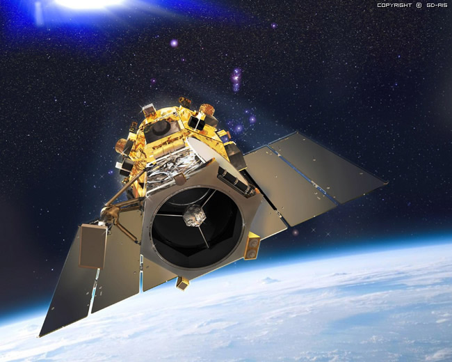
As launched by the date of 6th of Sept,2008, GeoEye-1 is one of the the highest resolution commercial earth-imaging satellites. It offers unprecedented spatial resolution by simultaneously acquiring 0.41-meter panchromatic and 1.65-meter multispectral imagery.
This newly developed sensor is optimized for large projects, as it can collect over 350,000 square kilometers of pan-sharpened multispectral satellite imagery every day.
GeoEye-1 has been flying at an altitude of about 681 kilometers and is capable of producing imagery with a ground sampling distance of 46 centimeters, meaning it can detect objects of that diameter or greater.
During late summer of 2013 the orbit altitude of the GeoEye-1 satellite sensor was raised to 770 Km/ 478 Miles. GeoEye-1 new nadir ground sample distance (GSD) is 46cm compared to the previous GSD of 41cm.
For more information: https://www.digitalglobe.com/resources/satellite-information
| Spatial Resolution : | 0.41m. / 1.65m. |
| Spectral Resolution (Pan/MS) : | 450 - 800 nm (pan) 450 - 510 nm (blue) 510 - 580 nm (green) 655 - 690 nm (red) 780 - 920 nm (near IR) |
| Swath Width : | 15.2 km. |
| Off-Nadir Imaging : | Up to 60 deg. |
| Dynamic Range : |
11bit |
| Misson Life - Expected : | More than 10 years |
| Revisit Time : | Less than 3 days |
| Orbital Altitude : | 681km. |
| Nodal Crossing : | 10.30 AM |
Applications:
- Agriculture
- Archaeology
- Cadastre and Land Records
- Current and World Events
- Defense and Intelligence
- Engineering and Construction
- Environmental Applications