Satellogic offers 1-meter resolution multispectral imaging and 30-meter resolution hyperspectral satellite imagery.
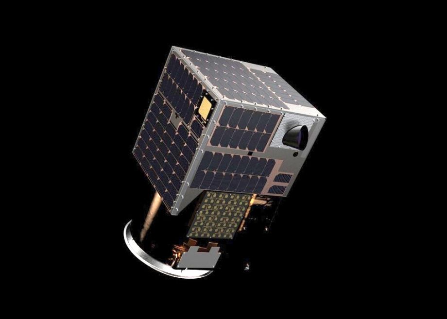
Satellogic designs, builds and operates its own fleet of Earth observation satellites to frequently collect affordable high-resolution imagery for decision-making in a broad range of industrial, environmental and government applications. Satellogic’s multispectral cameras collect true 1 m imagery data at an altitude of around 500km. Its 4 multispectral bands (red, green, blue, near-IR) are delivered ortho-rectified and GIS-ready.
Satellogic’s hyperspectral cameras collect 25-meter imagery data at an altitude of around 500 km. Its 29 visible to near-infrared (460 - 830 nm) spectral bands are delivered ortho-rectified and GIS-ready.

Satellogic created a small, light, and inexpensive system that can be produced at scale. Each commercial satellite carries two payloads – one for high resolution multispectral imaging and another one for a hyperspectral camera of 30 m GSD and 150 km swath (at a 470 km altitude)
Usage Areas:
Forestry, Agriculture ,Energy, Finance & Insurance and others...
For more informarton visit: https://satellogic.com/
Technical Specifications: (Multispectral)
| Sensor | Multispectral |
| Product L1 | TOA Reflectance [0-1]* 65536 |
| Pixel resolution | 1 m |
| Number of Bands | 4 |
| Wavelengths |
Blue: 450 - 510 nm (Band 1)
Green: 510 - 580 nm (Band 2) Red: 590 - 690 nm (Band 3) Near-IR: 750 - 900 nm (Band 4) |
| Image accuracy | ~10 m CE90 |
| Image bits/pixel | 16 bits |
| File Format | GeoTiff |
| File Compression | LZW lossless data compression |
| Projection | UTM/WGS84 |
Technical Specifications: (Hyperspectral)
| Sensor | Hyperspectral |
| Pixel Resolution | 25m |
| Number of Bands | 29 |
| Wavelengths | 460-830 nm |
| Image Accuracy | 150m CE90 |
| Image Delivery | 8 or 16bits |
| File format | Geotiff |
| File Compression | LZW lossless data compression |
| Metadata | Included |
| Projection | WGS84/UTM |
| Swath Width | 125 km |
Product Specifications:
| IMAGERY PRODUCT | Standart Level 1 |
|
Sensor Correction Corrected for sensor and optical distortions |
YES |
|
Geometric Correction Projected to UTM/WGS84 |
YES |
|
Orthorectified Corrected for Terrain Distortions |
YES |
|
Radiometric Correction TOA Top Of Reflectance |
YES |
| GIS Ready | YES |
| Bits Per Pixel | 16BIT |
| Delivery | Media,FTP,Cloud |