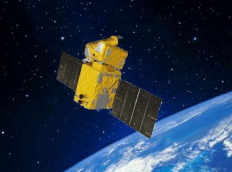
GF-7 satellite was successfully launched on 3 Nov 2019. Its lead user is the Ministry of Natural Resources of P. R. China (MNR), and it also serves other users, such as Ministry of Housing and Urban-Rural Development of P.R.China(MOHURD) and the National Bureau of Statistics(NBS).
GF-7 satellite runs on the sun-synchronous orbit and has a designed life of 8 years. The two-line stereo camera can effectively obtain 20 km-width panchromatic stereo images with resolution better than 0.8m and 3.2m-resolution multispectral images; the equipped two-beam laser altimeter can perform Earth observation at 3Hz observation frequency, with ground footprint diameter less than 30m, and acquire full waveform data at a sampling frequency higher tan 1 GHz. Through the composite mapping mode of stereo camera and laser altimeter, the satellite realizes 1:10000-scale stereo mapping, serving the application needs of natural resource survey monitoring, basic surveying and mapping, and global geo-information resource construction, and providing high-precision satellite remote sensing images for the fields of housing and urban rural development as well as national survey statistics.
GF-07 TECHNICAL SPECIFICATIONS:
|
Item |
Parameter |
|
Launch Vehicle |
CZ |
|
Launch Location |
Taiyuan Satellite Launch Center |
|
Orbital Type |
Sun-synchronous |
|
Orbital Altitude |
500 kilometers |
|
Revisit Cycle |
≤60 days |
|
Designed Life |
8 years |
Sensor technical parameters
|
Sensor |
Item |
Parameter |
|
|
Bi-linear array stereo camera |
Spectral Bands |
0.45~0.9 μm |
|
|
Resolution |
Pan |
≤0.8 m |
|
|
MS |
≤3.2 m |
||
|
Swath Width |
≥20 km |
||
|
Laser Altimeter |
Laser beam |
2 beams |
|
Laser repetition frequency |
3Hz |
|
|
Range Accuracy |
≤0.3 m (Gradient less than 15°) |
|
|
Single pulse energy |
≥180 mJ |
|
|
Laser Wavelength |
1.064 μm |
|
|
Facular Size |
30 m |
|
|
Laser Divergence Angle |
≤60 μrad |
|
|
Sensor Footprint |
Spectral Bands |
0.50~0.72 μm 1.064 μm |
|
Ground Pixel Resolution |
≤4m |
|
|
Viewing field |
+0.6° ~ +0.8° - 0.6° ~ - 0.8° |
|
|
Swath Width |
1.6 km |