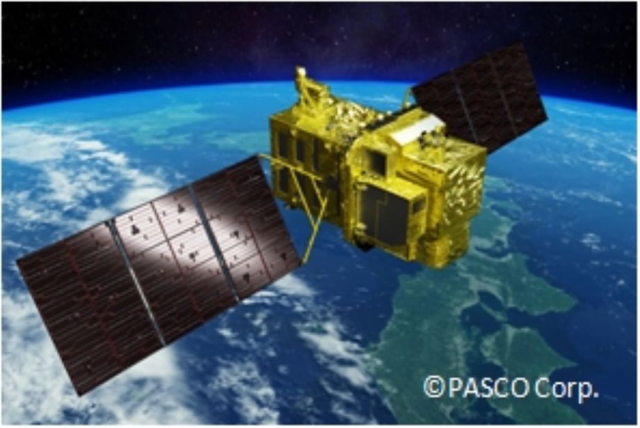
•The Advanced Optical Satellite is a successor of the optical mission of the Advanced Land Observation Satellite “DAICHI” (ALOS). The new satellite will achieve improved ground resolution (0.8 m) while observing a wide -swath (70 km) by a larger sensor with higher performance compared to DAICH, and continuously observe not only Japan but also global land areas to construct a system that can swiftly and timely acquire, process and distribute image data. Based on the accumulated data captured in pre- and post-disaster times, the satellite aims to become one of the imperative devices for disaster prevention and preparation activities of countries and municipal governments.
•Observation data acquired by the satellite is also expected to be useful in various fields such as contributing to the maintenance and updates of precise geospatial information in Japan as well as developing countries, and research and applications on coastal and land environmental monitoring by its observation capabilities.
|
ALOS-3 OBSERVATION MODES |
||
|
1 |
Strip-map |
The satellite can normally perform observation covering 70 km in width and 4,000 km in along-track direction as the strip-map observation mode. To increase the acquisition frequency, the images will be taken by less than 25 deg. pointing angle in cross-track direction (GSD < 1m) when the satellite track is in oceans. |
|
2 |
Point |
If the user has a certain ground point or an area of interest (AOI), the satellite can observe there using pointing capability within 60 deg. This mode will be used for natural disaster monitoring, for example. |
|
3 |
Direction changing |
The satellite can observe any given point by the pointing capability up to 60 deg. in all direction against the satellite nadir. In the case of Japan, it can be activated within 24 hours after receiving the request. This will be used when the large natural disaster happens e.g. the expecting Nankai Trough large earthquake. |
|
4 |
Wide-area |
This mode can cover in wide-ranging area of 200 km (in along-track direction) x 100 km (in cross-track direction) by satellite’s single orbital passage. This will be also used when the large natural disaster happens. |
|
5 |
Stereoscopic |
Two ways proposes to acquire stereo-pair image: 1) in single orbit path, and 2) combining two strip-map observations by nadir view and backward view in neighboring path after three days (sub-cycle revisit orbit). The way 1) will be however not sufficient base-to-height ratio (B/H) to derive terrain information. As the advantages of the way 2), that is possible to set suitable B/H, and can acquire images over large area. However, this will depend on weather conditions i.e. cloud covers, to success stereo image acquisition within short period as a disadvantage. |
Source:Jaxa

ALOS-3 TECHNICAL SPECIFICATIONS:
|
Sensor Type |
Electro optical |
|
Launching Date |
Planned in 2020 |
|
Orbit Type |
Sun-synchronous sub-recurrent |
|
Altitude |
669 km at equator |
|
Revisit |
35 days (Sub-cycle 3 days) |
|
Payloads |
Wide-swath and hig resultion optical imager (WISH, as tentative) Dual-frequencies infrared sensor (hosted playload) |
|
Ground Sampling Distance (GSD) |
Panchromatic band of WISH (Pa): 0.8m |
|
Multispectral band of WISH (Mu): 3.2m (6 bands) |
|
|
Spectral Resolution |
Band 1 0.40-0.45µm (Coastal) Band 2 0.45-0.50µm (Blue) Band 3 0.52-0.60µm (Green) Band 4 0.61-0.69µm (Red) Band 5 0.69-0.74µm (Red-edge) Band 6 0.76-0.89µm (Near-Infrared) |
|
Quantization |
11 bit/pixel |
|
Swath Width |
70 km at nadir |
|
Design Life Time |
Over 7 years |