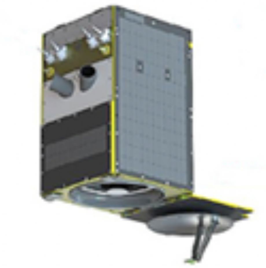
SkySat is a constellation of sub-meter resolution Earth observation satellites owned by Planet Labs, providing imagery, high-definition video and analytics services. Planet acquired the satellites with their purchase of Terra Bella (formerly Skybox Imaging), a Mountain View, California-based company founded in 2009 by Dan Berkenstock, Julian Mann, John Fenwick, and Ching-Yu Hu,from Google in 2017.
The resolution of the SkySat satellite imagery and videos is high enough to observe objects that impact the global economy such as terrain, cars and shipping containers. The satellites can capture video clips lasting up to 90 seconds at 30 frames per second. The high-definition satellite video from SkySat satellites could help us understand our world better by analyzing movement of goods and people, providing visual data about supply chains, shipping, industrial plant activity, and even humanitarian relief efforts.
The constellation s goal is to be able to provide high-resolution satellite imagery of any place on Earth multiple times a day.

For more information: Planet Labs Products
| Imaging Mode | Imagery | Imagery | Video Imagery |
| Panchromatic | Multispectral | Panchromatic | |
| Spectral Range | 0,450–0,900 | 0,450–0,515 (blue) 0,515–0,595 (green) 0,605–0,695 (red) 0,740–0,900 (NIR) |
|
| Products | Visual Panchromatic Pansharpened multispectral Analytic |
||
| Spatial Resolution m. | 0.8 Pansharpened Visual/1m Analytic | 2 | 1.2 |
| Dynamic Range bit | 16 bit Analytic/8 bit Visual | 16 | 16 |
| Swath Width km | 8 | 8 | 8 |
| Duration | - | - | 80 |
| Data Format | GeoTif | GeoTif | MPEG-4 (H.264) |
The positional Accuracy is less than 10m. RMSE.
Applications:
- Monitoring of ship tracking ,
- Vehicle and crowd movement;
- Determination of the speed and direction of objects;
- Calculation of traffic density;
- Determination of traffic congestion;
- Video monitoring of Force Intelligence Service areas and etc.