Cartosat-2S is the ISRO’s Very High Resolution Imaging Mission. It provides panchromatic imagery with a resolution
of 0.65 m and Multispectral data in four bands with a resolution better than 2m, with a nominal swath around 10 km.
The satellite is capable of steering up to +/- 45° and +/- 26° in along and across the tracks respectively. The satellite uses
Time Delay Integration (TDI) concept for image acquisition
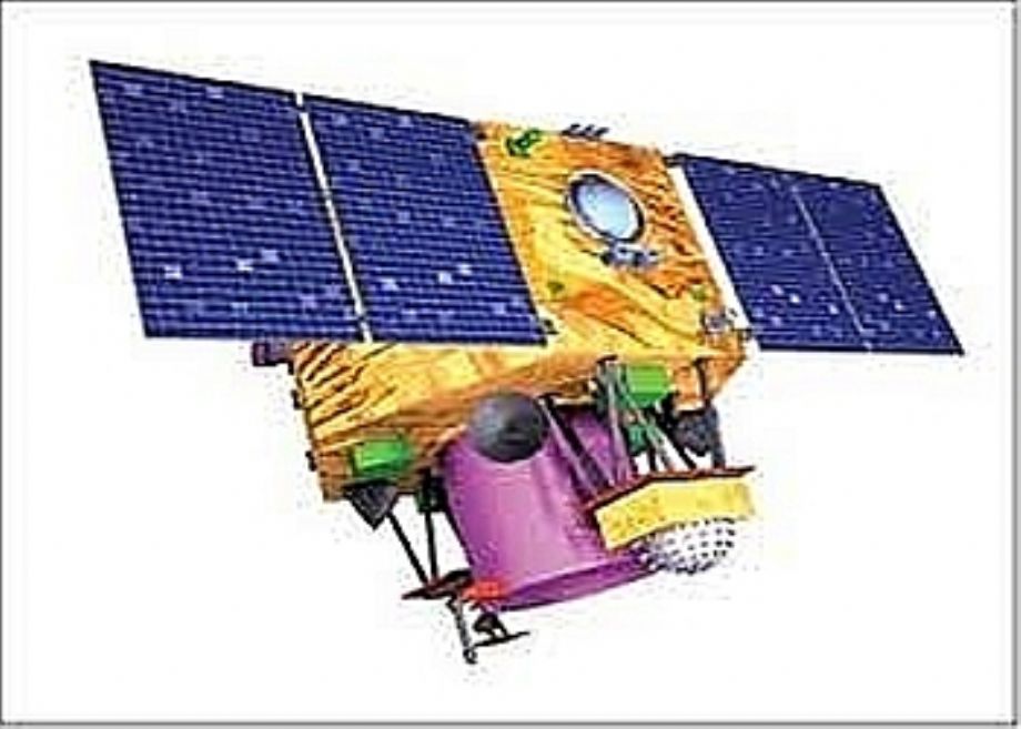
Cartosat-2S is the ISRO’s Very High Resolution Imaging Mission. It provides panchromatic imagery with a resolution of 0.65 m and Multispectral data in four bands with a resolution better than 2m, with a nominal swath around 10 km.
The satellite is capable of steering up to +/- 45° and +/- 26° in along and across the tracks respectively. The satellite uses Time Delay Integration (TDI) concept for image acquisition.
Applications:
• Mapping at cadastral level
• Large scale Thematic mapping upto 1:2500 scale
• Urban and Rural Facility Management
• Coastal land use and regulation
• Cartographic applications
• Precision Agriculture
• Utilities Planning and Development
• Change detection for geographical and
manmade features
• Disaster Assessment and management
support


PAN / MS Imagery Samples
Technical Parameters:
| Parameters | Pan | Multispectral |
| Resolution (m) | 0.65 | 1.6 |
| Swath (km) | 9.6 | 9.6 |
| Spectral Bandwidth (um) | 0.45 ‐ 0.9 | Band 1: 0.45 ‐ 0.52 Band 2: 0.52 ‐ 0.59 Band 3: 0.62 ‐ 0.68 Band 4: 0.77 ‐ 0.86 |
| Quantisation (bit) | 11 | 11 |
| Eq. Crossing time | 9.30 am | 9.30 am |
Applications:
• Mapping at cadastral level
• Large scale Thematic mapping upto 1:2500 scale
• Urban and Rural Facility Management
• Coastal land use and regulation
• Cartographic applications
• Precision Agriculture
• Utilities Planning and Development
• Change detection for geographical and
manmade features
• Disaster Assessment and management
support