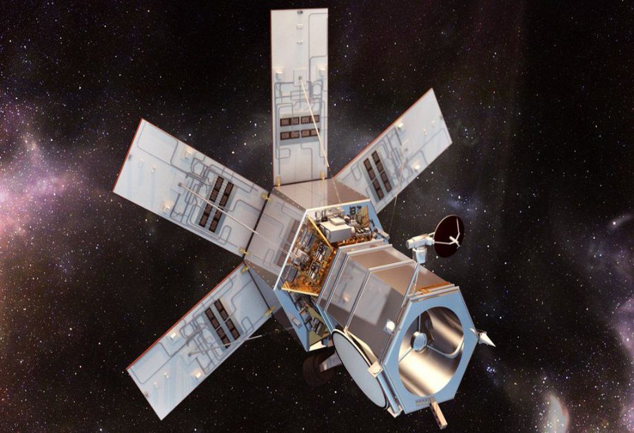
WorldView-4, previously known as GeoEye-2, is a third generation commercial Earth observation satellite launched on 11 November 2016. The spacecraft is operated by DigitalGlobe. With a maximum resolution of 31 cm (12 in), WorldView-4 provides similar imagery as WorldView-3, the highest resolution commercially available at the time of its launch.
With an average revisit time of <1 day, the WorldView-4 satellite is capable of collecting up to 680,000 km2 of imagery per day.
For more information: http://www.digitalglobe.com/about-us/content-collection
WorldView-4 Satellite Specifications
Sensor Bands |
Panchromatic: 4 Multispectral: Blue Green Red Near-Infared |
450 - 800 nm 450 - 510 nm 510 - 580 nm 655 - 690 nm 780 - 920 nm |
| Sensor Resolution (or GSD, Ground Sample Distance; off-nadir is geometric mean) | Panchromatic Nadir 20° Off -Nadir Multispectral Nadir 20° Off -Nadir |
0.31 m 0.34 m 1.24m 1.38 m |
| Swath Width | 13.1 km at nadir | |
| Off-Nadir Imaging | Nominally +/- 45 degrees off-nadir Higher angles selectively available |
|
| Dynamic Range | 11-bits per pixel Pan and MS | |
| Mission Life | 10 to 12 years | |
| Revisit Time (at 40 degrees Latitude) |
1m GSD: <1.0 day Total Constellation > 4.5 accesses / day |
|
| Orbital Altitude | 617 km | |
| Nodal Crossing | 10:30 am | |
| Geolocation Accuracy (CE90) | Predicted <4 m CE90 without ground control | |
| Capacity | 680,000 km2 per day | |