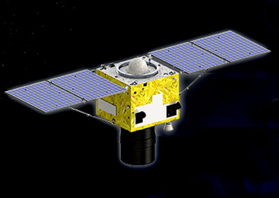
SuperView-1 (SV-1) is composed of 4 identical VHR EQ satellites running along the same orbit and phrased 90° from each other. The first two satellites were launched in December 2015 and the second two were launched in January 2018. More follow-on satellites will join the constellation up to 2022, ensuring continuity of Earth imaging services for global clients
It has 4 multispectral bands (blue/green/red/near infrared-2m) and one Panchromatic band (0.5m). The swath width is 12 km and the descending node time is 10:30 am.
It possesses high agility and runs with multiple collection modes. Its multi-imaging mode can satisfy different imaging requirements. (Examples: nadir imaging, scroll imaging, continuous strip, multi-band stitching, three-dimensional imaging).
When 4 SuperView-1 satellites work concurrently, they are capable of collecting over 2 million square kilometers every day and revisiting any target on the Global every day.

For more information: http://www.spaceview.com/english/Satellite/SuperView_1/
Technical specifications:
| Orbit | Altitude: 530 km |
| Type: Sun-synchronous | |
| Period: 97 minutes | |
| Design life | 8 years |
| Mass | 560 kg |
| Sensor bands | Panchromatic: 450-890 nm |
| 4 Multispectral: | |
| Blue: 450-520 nm | |
| Green: 520-590 nm | |
| Red: 630-690 nm | |
| Near-IR: 770-890 nm | |
| Spatial Resolution | PAN: 0.5 m |
| MS: 2 m | |
| Dynamic range | 11 bits |
| Swath width | 12 km |
| Onboard storage | 2.0 TB |
| Revisit time | 4 days |
| Positioning accuracy | Better than 20 m |
| Data transmission | 2 * 450 Mbps |
| Daily Capacity | 700,000 km²-One Satellite |