Planet Constellations
Planet collects and delivers information faster than anyone else, so you can see what s happening on the ground in near real-time.
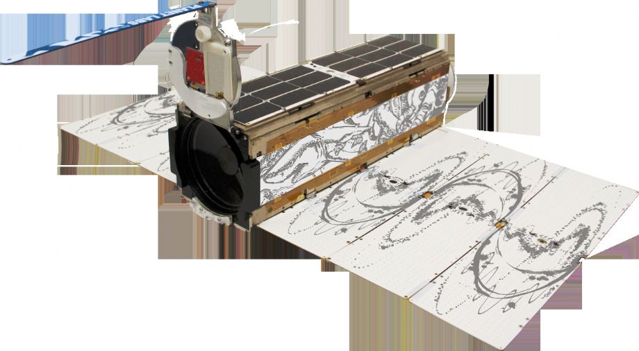
Planet operates 175+ Doves, 13 SkySats and 5 RapidEye satellites that provide a versatile dataset for geospatial analysis of markets, environments and global change. With an industry-leading combination of coverage and cadence, Planet delivers Earth imaging data at unprecedented scale.Planet s constellation of satellites orbit the poles every 90 minutes, capturing the entire Earth s landmass every day.
Access color-corrected 3-band and sensor-calibrated multispectral products. Basic, orthorectified, radiance, and surface reflectance imagery are available.
.png)
For more information:https://www.planet.com/products/planet-imagery/
PLANET TECHNICAL SPECIFICATIONS:
| PlanetScope | RapidEye | SkySat | |
| Bands | 4 (RGB,NIR) | 5 (RGB;Red Edge,NIR) | 5 (RGB;Red Edge,NIR) |
| Products |
Color enhanced |
Color enhanced Visual Analytic |
Visual |
| Pixel Resampled | 3m. | 5m. | Visual, panchromatic, pansharpened multispectral: 0.8m Analytic: 1m |
| Radiometric Resolution |
Visual: 8 bit |
Visual: 8 bit Analytic: 16 bit |
Visual: 8 bit |
| Positional Accuracy | <10m RMSE | <10m RMSE | <10m RMSE |
| Data Format | Geotif | Geotif | Geotif |