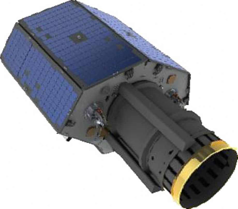
The 21AT TripleSat Constellation consists of three identical high-resolution satellites, providing 0.8m PAN and 3.2m MS imaging capabilities. TripleSat Constellation was launched on 10 July 2015.
Two months after the launch, they are phased by the propulsion system to the designated positions, 33 minutes/120° apart.
The propulsion system will continuously maintain the satellite positions over the lifetime of TripleSat Constellation.
All three satellites had been handed over by the satellite manufacture in the end of March 2016 and the commercial operation service from TripleSat Constellation had started in the beginning of April 2016.
The unique daily targeting capability: The maximum off-pointing angel of TripleSat is 45. At 35°, with three satellites in a constellation, it is capable of targeting anywhere on the Earth once per day.
TripleSat-1, TripleSat-2 and TripleSat-3 are phased 120°/33 minutes after each other in the same orbit.

The Benefits of TripleSat Constellation to Worldwide Customers:
Dependable data source for operational monitoring
- Able to target anywhere on the Earth once per day with high resolution image
The best combination of spatial resolution and time resolution
- <1m GSD with 24km swath
Compatible technical specifications with those of IKONOS
- Well understood applications
Three cross calibrated, identical satellites
- Convenience for data integration
Cloud free image selection for efficient download
- Enabled by large on-board memory
Acquisition capacity of half million km2 per day
The Benefits of TripleSat Constellation to Worldwide Customers:
- Dependable data source for operational monitoring
- Able to target anywhere on the Earth once per day with high resolution image - The best combination of spatial resolution and time resolution
- <1m GSD with 24km swath - Compatible technical specifications with those of IKONOS
- Well understood applications - Three cross calibrated, identical satellites
- Convenience for data integration - Cloud free image selection for efficient download
- Enabled by large on-board memory - Acquisition capacity of half million km2 per day
For more information: http://www.21at.com.cn/en/TripleSatConstellation/
Technical Specifications of TripleSat:
| Satellite Orbit: | Sun-synchronous, altitude of 651km |
| LTAN: | 1030hrs |
| Optical Sensor GSD: | Panchromatic: 0.8m (nadir) | Multispectral (R, G, B, NIR): 3.2m (nadir) |
| Swath: | 24km |
| Digitisation: | 10 bits |
| Off-nadir capability: | +/- 45 degrees |
| Projected mission life: | 10 years |
| Image file format: | GeoTIFF/TIFF |
| Safety & Security: | 128bit AES encryption of all command, telemetry and payload data. |
| Compression: | JPEG-LS configurable |