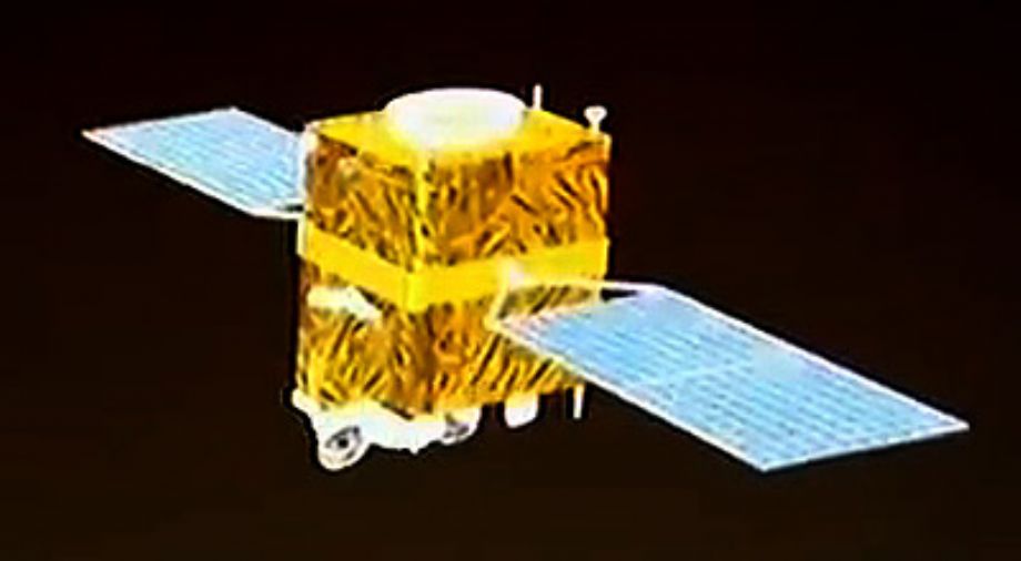
First Chinese Sub-meter Satellite Imagery GF-2 (GaoFen -2).
GaoFen (GF) is a series of Chinese civilian remote sensing satellites.
Launched on 19 August 2014, GF-2 is equipped with PAN and MS cameras, capable of collecting images with resolution of 0.80 m (nadir) in Panchromatic and 3.24 m (nadir) in the multispectral bands on a swath of 45 km. GF-2 is a follow-on mission of the GF-1 technology demonstration mission, a series of high-resolution optical Earth observation satellites of CNSA (China National Space Administration), Beijing, China.
GF-2 is part of the CHEOS (China High Resolution Earth Observation System) family with the objective to provide high accuracy geographical mapping, land and resource surveying, environment change monitoring, near real-time observation for disaster prevention and mitigation, as well as for agriculture and forest estimation.
- 5-3 years design life
- Sub-meter resolution GF-2 Profile Beijing Space Eye Innovation Technology Co., Ltd.
- Sub-meter resolution
- Higher Radiometric precision
- Higher Positional accuracy
For more information :https://directory.eoportal.org/web/eoportal/satellite-missions/g/gaofen-2
Technical Specifications:
| Payload | Bands | Spectral Range | Swath Width | Spatial Resolution | Radiometric Resolution |
| Pancromatic | 0.45-0.89 | 45km | 0.8m | 10bits | |
| Multispectral | B01 | 0.45-0.52 | 45km | 3.2m | |
| B02 | 0.52-0.59 | 45km | 3.2m | ||
| B03 | 0.63-0.69 | 45km | 3.2m | ||
| B04 | 0.77-0.89 | 45km | 3.2m |