The goal of the KOMPSat 5 (Korean Multi-purpose Satellite 5) or Arirang 5 project is to lead the development of the first Korean SAR Satellite using manpower and facilities from the KOMPSAT-3 program. It aims to support the national SAR (Synthetic Aperture Radar) satellite demand and form a technology infrastructure to make inroads into the world space industry.
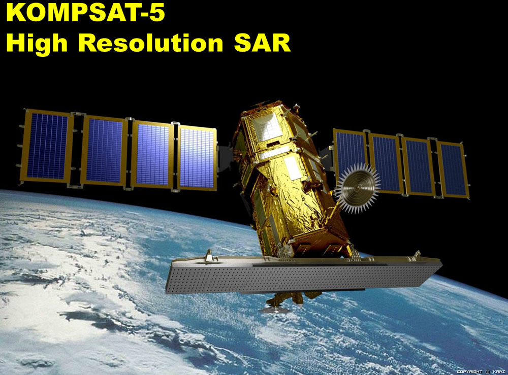
KOMPSAT-5, which was developed since in the middle of 2005, was launched in 2013, 22 August and its payload is a X-band SAR a, which operates at Dawn-Dusk orbit between an altitude of 550 km.
It executes all weather and all day observations of the Korean peninsula during its five year mission using the SAR payload, unlike the optical KOMPSAT-1, -2 and -3 satellites. And in order to meet the urgent national needs for various SAR image information, the KOMPSAT-5 GOLDEN Mission will provide GIS (Geographical Information Systems), Ocean monitoring, Land management, Disaster monitoring, and Environment monitoring.
The primary mission of the KOMPSAT-5 system is to provide high resolution mode SAR images of 1 meter resolution, standard mode SAR images of 3 meter resolution and wide swath mode SAR images of 20 meter resolution with viewing conditions of the incidence angle of 45 degrees using the COSI (COrea SAR Instrument) payload, for meeting GOLDEN mission objectives.
The secondary mission of KOMPSAT-5 is to generate the atmospheric sounding profile and support radio occultation science using AOPOD (atmospheric occultation and precision orbit determination) secondary payload which is composed of a dual frequency GPS receiver and a laser retroreflector array (LRRA)
For more information:https://www.kari.re.kr/eng/sub03_02_01.do
| Launch | 22nd, 2013 (Under in orbit test) |
| Orbit | Sun-Synchronus, Dawn-dusk |
| Altitude | 550 km mean |
| Inclination | 97.6° |
| Revisit Time | 24 hours on average |
| Payload | Synthetic Aperture Radar (X-band) Similar design with Cosmo-SKYMed |
| Duty | 2 minutes per orbit |
| Incidence angles | 20° ~ 45° (nominal, 304 km coverage) 45° ~ 55° (extendend, additional 186 km coverage) |
Imaging performance at 45° incidence angle
| Range Resolution | Azimuth Resolution | Swath | Remark | |
| Spotlight Mode (HR) | 1 m | 1 m | 5 km | 5 km x 5 km |
| Standart Mode (ST) | 3 m | 3 m | 30 km | |
| ScanSAR (WS) | 20 m | 20 m | 100 km |