MODIS (Moderate-resolution Imaging Spectroradiometer)
MODIS (or Moderate Resolution Imaging Spectroradiometer) is a key instrument aboard the Terra (EOS AM) and Aqua (EOS PM) satellites. Terra’s orbit around the Earth is timed so that it passes from north to south across the equator in the morning, while Aqua passes south to north over the equator in the afternoon. Terra MODIS and Aqua MODIS are viewing the entire Earth’s surface every 1 to 2 days, acquiring data in 36 spectral bands, or groups of wavelengths (see MODIS Technical Specifications). These data will improve our understanding of global dynamics and processes occurring on the land, in the oceans, and in the lower atmosphere.
 MODIS is playing a vital role in the development of validated, global, interactive Earth system models able to predict global change accurately enough to assist policy makers in making sound decisions concerning the protection of our environment.
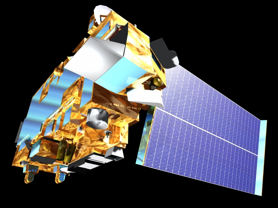
The MODIS instrument has been designed and developed since the Engineering Model (EM) was completed in mid-1995. Since then, two spaceflight units, the Protoflight Model (PFM) (aboard the Terra Satellite) , and the Flight Model 1 (FM1) (aboard the Aqua Satellite) have been completed and launched. Terra was launched on December 18, 1999, and Aqua was launched on May 4, 2002. The MODIS instruments – built to NASA specifications by Santa Barbara Remote Sensing – represent the finest in engineering of spaceflight hardware for remote sensing.
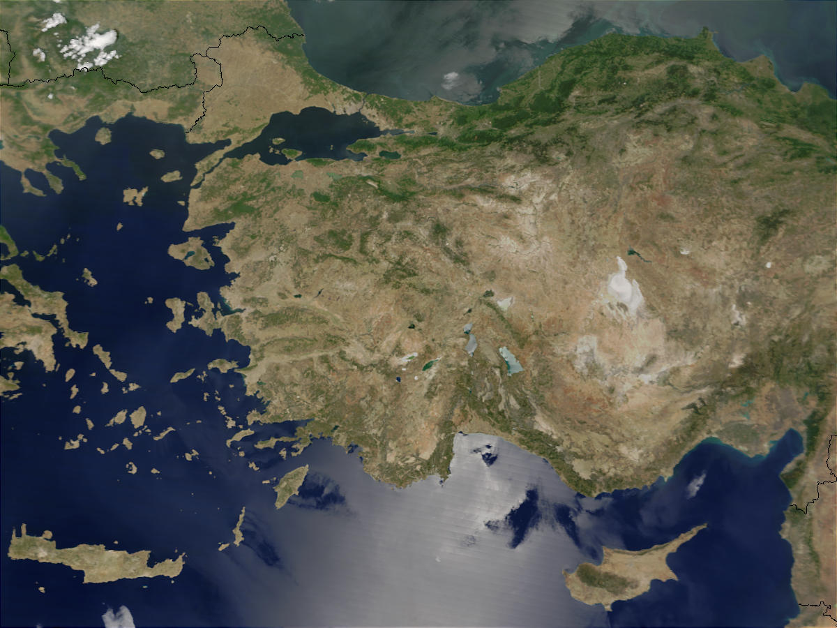
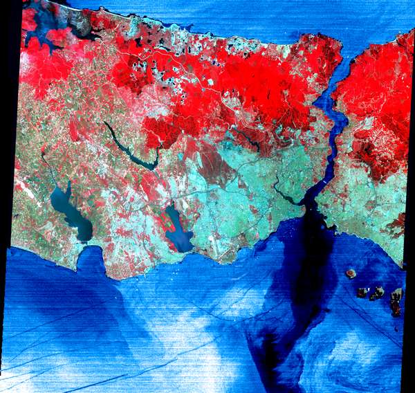
ASTER Advanced Spaceborne Thermal Emission and Reflection Radiometer)ASTER (Advanced Spaceborne Thermal Emission and Reflection Radiometer) is an imaging instrument flying on Terra, a satellite launched in December 1999 as part of NASA’s Earth Observing System (EOS). ASTER is a cooperative effort between NASA, Japan’s Ministry of Economy, Trade and Industry (METI) and Japan’s Earth Remote Sensing Data Analysis Center (ERSDAC). ASTER is being used to obtain detailed maps of land surface temperature, reflectance and elevation. The three EOS platforms are part of NASA’s Science Mission Directorate and the Earth-Sun System, whose goal is to observe, understand, and model the Earth system to discover how it is changing, to better predict change, and to understand the consequences for life on Earth. |
Websites about aster:
ASTER JPL Web Sitesi (USA)
 |
NİK ® İNŞAAT TİCARET LİMİTED ŞİRKETİhas the Certificate of Distribution approved by ERSDAC and All Rights Reserved. |
 |
|
||||||||||||||||||||||||||||||||||||||
|
|
||||||||||||||||||||||||||||||||||||||
*Aster Data is now only ordered as Level 1T. Aster Level 1T data is being proccesed as orthorectified data by using GLS2000 digital elevation model for digital elevation model and geocorrected Landsat images as ground control point.