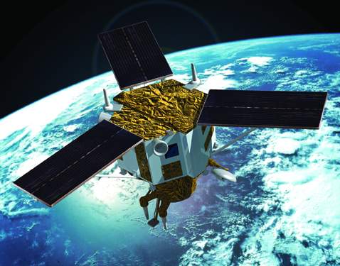
IKONOS satellite, which has been launched from Vandenberg Air Base in California, on September 24th 1999,was the first and only satellite having the highest ground resolution.
It was decommissioned in March 2015 ending a 15 year mission life.
IKONOS flies with a velocity of 26,000 km / hour at an elevation of 680 km and rotates in a sunsynchronous orbit once in every 98 minutes and makes 14 revolutions. The satellite is expected to have an operational life in life around 7 years.
IKONOS is capable of taking imagery with 1-meter resolution in a swath of 700 km around its ground track. Minimum collection area for an images is 100 km2 with a maximum of 10.000 km2/per pass
| Satellite | Sensor | Bands | Scene size | Pixel Resolution |
| IKONOS | Multispectral | RGBN | 11x11km | 4 meters |
| Panchromatic | PAN | 1 meter |
For more information:http://www.euspaceimaging.com/satellites/ikonos
|
|||||||||||||||||||||||
İkonos Products |
|||||||||||||||||||||||
|
|||||||||||||||||||||||